 ▴Game First Person Shooter pertama buatan Indonesia. Ayo download di Google Playstore! Siap Bela Nega▴
Hotline News!
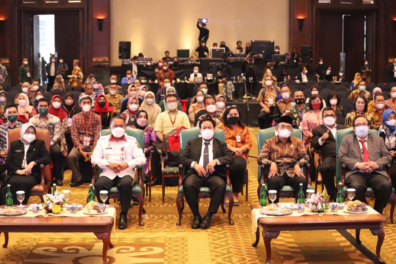
- Rakornas bidang Perpustakaan 2022
- Cara Mengetahui ID Author di Portal Garuda Kemdikbud
- TKT atau Tingkat Kesiapan Teknologi
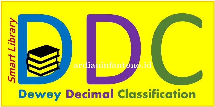
- Mengenal DDC Buku
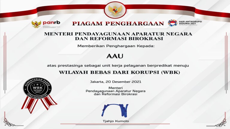
- Mengenal Zona Integritas
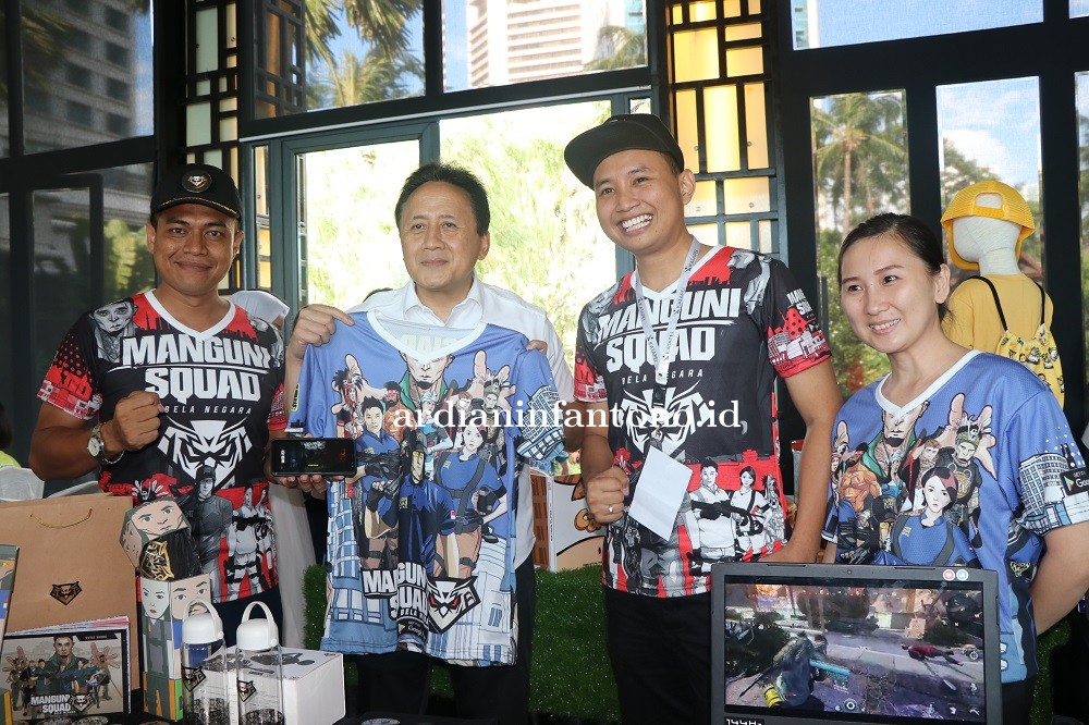
- Manguni Squad bersama 19 IP Terpillih Hong Kong International Licensing Show 2021
- Kasau Harap Alumni Seskoau Tumbuh Kembangkan Budaya Lifelong Learning
- Inovasi Aero Gesture - game edukatif Museum Dirgantara Mandala
- Inovasi untuk bangsa Indonesia
- Game Manguni Squad Lolos Top 5 BEKRAF Katapel 2019
A novel system to display position of explosion, shot angle, and trajectory of the rocket firing by
Publikasi jurnal internasional terindex Scopus dan IEEE tentang ARoket

By Ardian Infantono, S.Kom., M.Eng.
Berita Terkait
- Modeling of the 3D-view geometry based motion detection system for determining trajectory and angle 3
- Website SD Negeri Nglempong Sleman38
- Sejarah Website Akademi Angkatan Udara51
- Situs Hobi Penelitian Ilmiah9
Berita Populer
- TKT atau Tingkat Kesiapan Teknologi
- Mengenal DDC Buku
- Game Manguni Squad Lolos Top 5 BEKRAF Katapel 2019
- Kuliah Umum Metodologi Penelitian di Universitas Mataram
- Manguni Squad bersama 19 IP Terpillih Hong Kong International Licensing Show 2021
- Kasau Harap Alumni Seskoau Tumbuh Kembangkan Budaya Lifelong Learning
- Mengenal Zona Integritas
- Inventori awal penelitian di http://ardian-infantono.blogspot.com/
- Cara Mengetahui ID Author di Portal Garuda Kemdikbud
- Inovasi Aero Gesture - game edukatif Museum Dirgantara Mandala
Keterangan Gambar : Publikasi ilmiah ARoket
Penelitian dilakukan oleh Ardian Infantono dan Andria Kusuma Wahyudi setelah lulus dari Magister Teknologi Informasi (MTI) di Jurusan Teknik Elektro dan Teknologi Informasi (JTETI) Universitas Gadjah Mada (UGM). Publikasi ilmiah di jurnal internasional tentang ide penggunaan Augmented Reality untuk memvisualkan hasil scoring system latihan penembakan roket air to ground yang dilakukan pesawat tempur. Publikasi ini terindex Scopus dan IEEE. Publlikasi dapat dilihat di IEEE Xplore Digital Library. Berikut ini abstraknya.
The firing exercise of air-to-ground rocket should be run safely. The result and evaluation were to be reported quickly. Generally, the Weapon Impact Scoring Systems (WISS) displayed the rocket impact point by using PC monitor at a fixed location. This may produce the gap of real time information which expected by all safety components of exercise. In this paper, we proposed a novel system to visualize results of the rocket firing exercise anytime, anywhere, and realtime. The system called ARoket was developed based on the markerless Augmented Reality and run on Android-based smartphone. ARoket was integrated with current method of the rocket detection, Image Subtraction and 3D-View geometry. It displayed process of how the rocket hit the target which informed some important data such as the position of the rocket explosion and its angle when hitting the target area, which were extracted from the cloud database and visualized in 3D. This proposed system succeded to display the rocket trajectory on the firing range based on the output of WISS which were sent to the internet cloud database. The interchangeable maps installed in the Military Strategic Desk represented the firing range and its environment. By using smartphones in any different places, all officers who related to the firing exercise kept watching the screen of devices to observe the process of the rocket hitting the firing range, and evaluated the results quickly. This proposed system could be contributed to improve the quality and safety level of the exercise thoroughly, even in military or other aspects.
Published in: 2014 International Conference on Electrical Engineering and Computer Science (ICEECS)
Date of Conference: 24-25 Nov. 2014
Date Added to IEEE Xplore: 19 February 2015
ISBN Information:
Electronic ISBN: 978-1-4799-8478-7
CD-ROM ISBN: 978-1-4799-8477-0
INSPEC Accession Number: 14935161
DOI: 10.1109/ICEECS.2014.7045245
Publisher: IEEE
Conference Location: Kuta, Indonesia

Write a Facebook Comment
Tuliskan Komentar anda dari account Facebook
Write a comment
Ada 17 Komentar untuk Berita Ini
View all comments